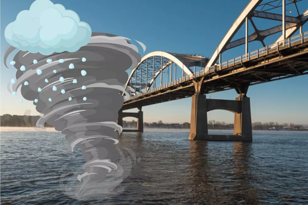
Quad Cities Bracing for Evening Storms Tonight — Here’s What to Expect
Today has been declared a “First Alert Day”, meaning conditions could become hazardous as strong to severe thunderstorms move into the Quad Cities this evening.
Storms are expected to develop between 4 PM and 10 PM, with the most active weather (possible tornadoes) arriving during the evening hours.

What Kind of Storms Are Coming?
Meteorologists say the main threat will be large hail, but it doesn’t stop there. Strong winds and even isolated tornadoes are possible, depending on how the atmosphere evolves.
Here’s what to watch for:
- Large hail (primary threat)
- Damaging wind gusts
- Low chance of tornadoes
Storms may initially form as isolated cells capable of producing hail, then quickly organize into a line of storms, increasing the wind threat as they move through the area.
Why the Quad Cities Could See Severe Weather
A strong cold front is slicing through the Midwest today, creating a sharp divide in temperatures:
- 60s north of I-80
- 80s south of I-80
That clash of warm and cool air is what fuels severe weather.
Forecasters say storms will have a very short window to become severe, but if they tap into the right conditions, they could intensify quickly.
Areas south and southeast of the Quad Cities may have the best chance of seeing the strongest storms.

Tornado Risk: What We Know
Right now, the tornado threat is low but not zero.
If moisture builds along the front just right, forecasters say a few tornadoes can’t be ruled out.
The good news: the setup suggests the highest tornado risk may stay just east of the immediate Quad Cities area, but it’s still something to monitor closely.
When It Ends (And What Comes Next)
The storm threat should move out by around 10 PM, as the cold front pushes south.
After that:
- Cooler air moves in fast
- Friday will feel much colder, with temps dropping significantly
- Bottom Line for QC Residents
This is one of those “keep an eye on the sky” kind of days.

Storms may not hit everyone, but the ones that do develop could become strong quickly. Have a way to get weather alerts, especially if you’ll be out this evening.
Because in true Midwest fashion, we’re going from 80 degrees and sunshine to hail and possible tornadoes all in a matter of hours.
10 Things Iowans Should Never Store In Your Garage
Gallery Credit: Canva
More From 97X