UPDATE: Quad Cities’ Expected Snow Totals Drop To A Trace To 3 Inches
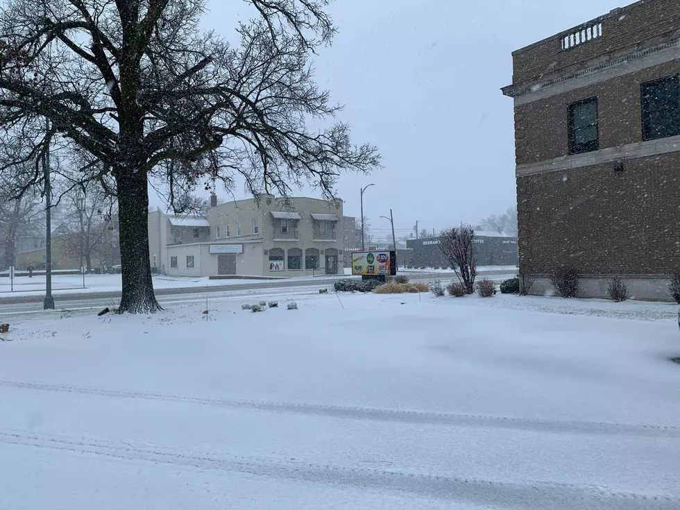
Another winter storm is approaching the Quad Cities area. As the storm gets closer, snowfall predictions are getting clearer as is the path of the storm. Officials originally predicted that the Quad Cities could see up to 6 inches of snow, but that snowfall prediction has changed in a good way. Officials now believe we will see a trace of snow to 3 inches in the Quad Cities metro.

The National Weather Service of the Quad Cities (NWS) has changed its snowfall predictions for the pending winter storm that will arrive late Tuesday night and last through Thursday.
Instead of the 1-6 inches of snowfall predicted, NWS officials now say we could see a trace to 3 inches of snow between tonight and Thursday. Even though snowfall total predictions have dropped, the winter storm is expected to impact travel during the Wednesday morning commute and throughout the day on Wednesday.
NWS officials are saying that this long-duration snowfall event will still bring a very sharp gradient of accumulating snow across the area The greatest impacts and higher snowfall totals will be south and east of the Quad Cities area and will have a sharp cutoff.
That sharp cutoff means there will be little to no snowfall on the north side of the system through southeast Iowa and northwest Illinois.
Officials say the snow will end from west to east early Thursday. Strong winds will continue through the day on Thursday causing blowing and drifting.
Winter Weather Advisories and Winter Storm Warnings have been issued in the southern and southeastern parts of the listening area.
Originally, on Monday, officials from the National Weather Service of the Quad Cities released their first snowfall predictions for the amount of snow we could get from Tuesday night through Thursday.
The long-duration snowfall event is still expected to begin Tuesday night and last through Thursday.
NWS officials say that the main impacts are associated with total snowfall, not snowfall rates.
The Quad Cities Cheapest Airbnb
LOOK: What 25 Historic Battlefields Look Like Today
More From 97X


